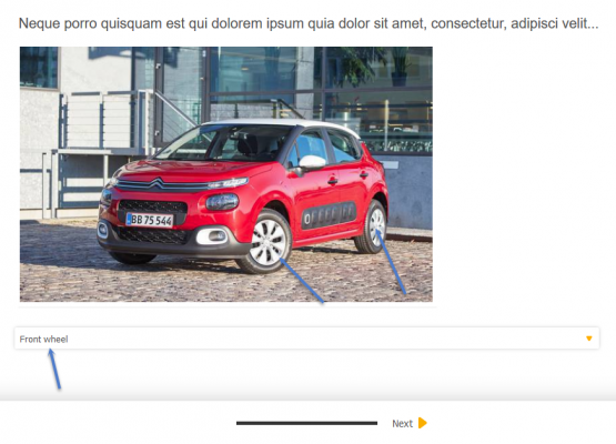
This solution will help you setting up an image map question.
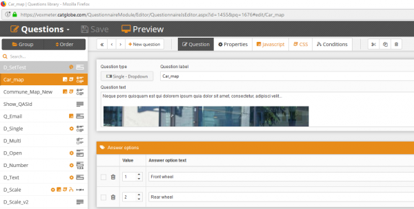
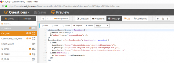
First create a single question, then add the below script to Javascript tab and add HTML code in question text:


HTML Code
<img alt="" usemap="#townmap" src="https://voxmeter.catglobe.com/Images/GetImage.aspx?rid=ee9471e8-88f6-4c6f-848b-d17fa99a229e" />
<map name="townmap">
	<area id="1" shape="rect" coords="312,233,387,323" alt="Front wheel" href="javascript: setAnswerOption(1);" />
	<area id="2" shape="rect" coords="522,298,479,217" alt="Rear wheel" href="javascript: setAnswerOption(2);" />
</map>

Javascript code:
Question.bind('afterValidateQuestion', function(ev, question, state) {
	window.setAnswerOption = function(v) {
		Question.setAnswer(v);
		$('select').prop('selectedIndex', v);
	};
Question.bind('afterShowQuestion', function(ev, question) {
	$.when(
		$.getScript("http://cdn.catglobe.com/jquery.rwdImageMaps.js"),
		$.getScript("http://cdn.catglobe.com/jquery.rwdImageMaps.min.js"),
		$.getScript("http://cdn.catglobe.com/ios-orientationchange-fix.min.js")
	).done(function(){
		$('img[usemap]').rwdImageMaps();
	});
});

CSS Code:
img[usemap] {
   border: none;
   height: auto;
   max-width: 100%;
   width: auto;
}

